 Rewind
Historical maps · 701 BC – 201 BC
Historical map of Megaris
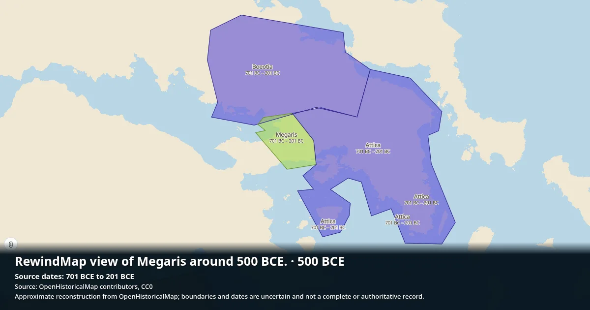
Megaris appears on the map from 701 BC to 201 BC (500 years). OpenHistoricalMap records 1 recorded territorial snapshot in dataset.
Open Megaris on the interactive map →
Same region and period
- Attica · 701 BC – 201 BC
- Boeotia · 701 BC – 201 BC
- Roman Republic · 510 BC – 28 BC
Sources
Borders: OpenHistoricalMap contributors (CC0 1.0).Wikidata: Q645572.Battles: Wikidata contributors (CC0 1.0).